



Boundary monitoring on protected land
- The challenge
- A protected area too large and too remote to patrol continuously, where clearing and unrecorded structures are found long after the work was done.
- The deployment
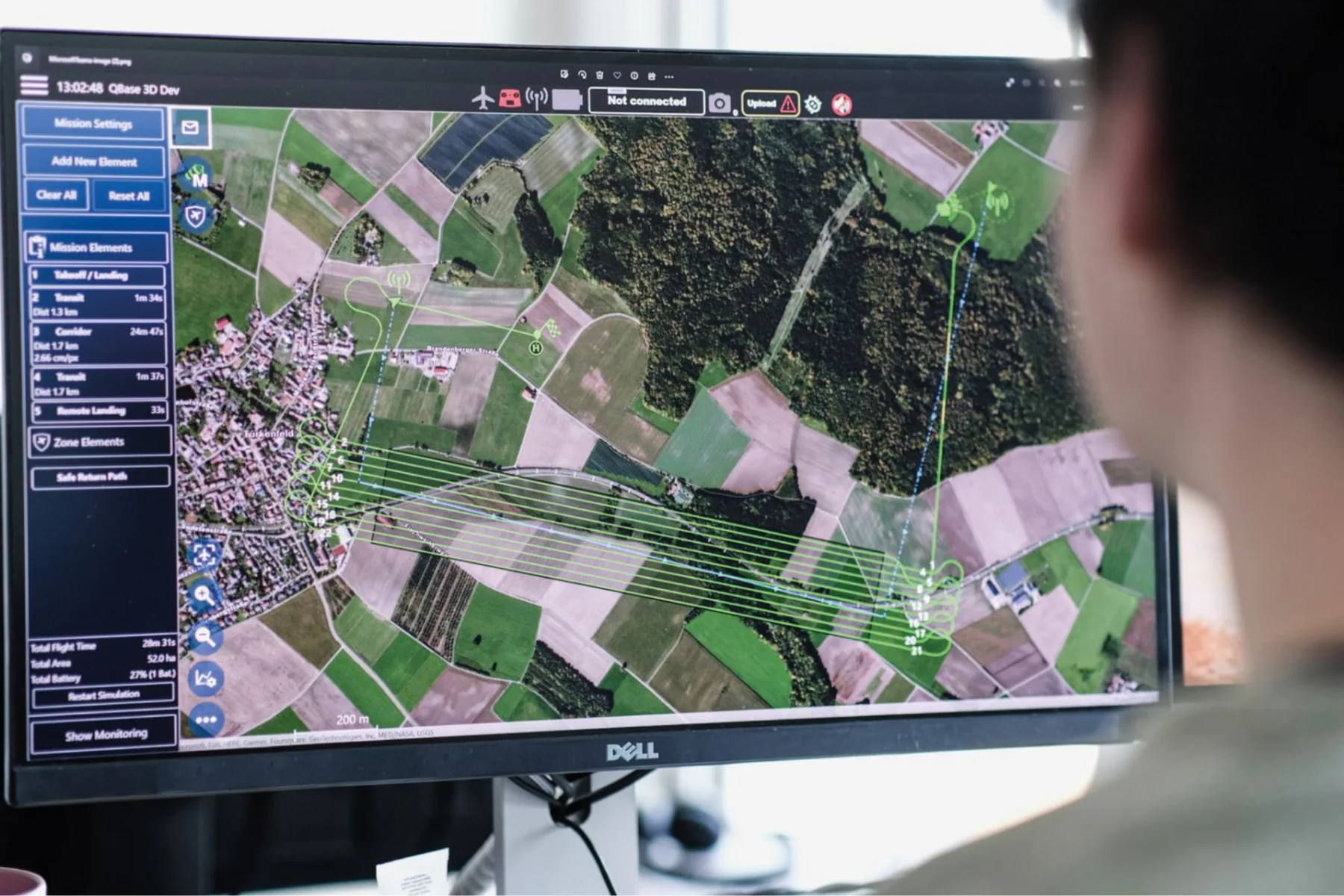
- Aerial capture on a repeating cycle, each pass differenced against the last to isolate new clearing, new access tracks and structural change.
- The result
- Change surfaced by location and date, so enforcement is directed at where the ground has actually altered rather than spread across the whole area.