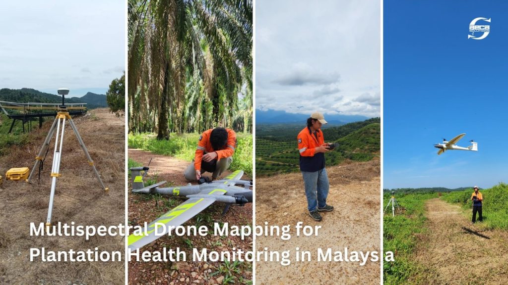
How Malaysian agriculture development body optimised fertiliser management across 4,180 Hectares using multispectral drone mapping
PKPS in Malaysia used multispectral drone mapping, GIS analysis, and laboratory-calibrated nutrient assessment across 4,180 hectares to identify over-fertilisation, target deficiencies, and build a precision nutrient management program…
Read the story