

Product
DJI Enterprise
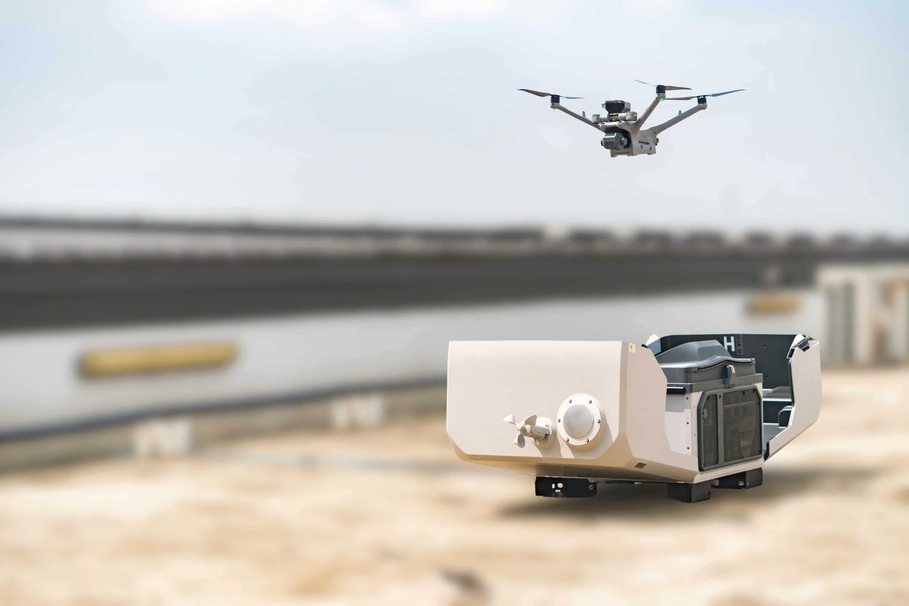
DJI Enterprise drones, supplied and supported by AECA for inspection, thermal imaging and survey work.
- Range
- Matrice and Mavic Enterprise
- Positioning
- Real-time RTK
- Payloads
- Thermal and high-res optical
- Best for
- Inspection and rapid deployment
Key features
What the Enterprise range brings to commercial and industrial work.
Precision mapping
Real-time RTK positioning for centimetre-level accuracy on demanding geospatial applications.
Advanced imaging sensors
Payload integration covering radiometric thermal cameras and high-resolution optical sensors.
Reliable flight performance
Robust operational readiness in difficult weather, with extended flight times.
Fast to deploy
Compact folding airframes and short set-up times suit inspection work where the aircraft moves between sites in a single day.
Technical specifications
Figures depend on which airframe and payload combination is specified.
Full specifications on request The Enterprise range spans several airframes with different endurance, payload capacity and sensor options, and the line-up is refreshed regularly. AECA supplies current manufacturer documentation and a recommendation matched to your mission profile.
Use cases
Asset and structure inspection
Close visual and thermal inspection of structures, plant and installations without scaffolding or rope access.
Thermal survey
Radiometric thermal capture for electrical, mechanical and building envelope inspection.
Site mapping and progress
RTK-positioned mapping of construction sites and compact project areas on a short cycle.
Public safety and response
Rapid situational awareness where an aircraft has to be in the air within minutes of arriving.
Other products
Compare platforms and payloads for your mission.
Technology consultation
Find the right technology.
Tell us your mission, payload and environment. We will recommend a suitable platform.


