

Solution
Environmental Monitoring & Sustainability
High-resolution monitoring, carbon stock assessment and ecological intelligence, designed to protect natural ecosystems and evidence corporate ESG commitments.
- Method
- Multi-temporal aerial survey
- Detects
- Encroachment, erosion, canopy loss
- Response
- Rapid-deployment disaster mapping
- Delivered for
- GIS and enterprise databases
The challenge & transformation
Traditional environmental monitoring relies on manual ground sampling and delayed field surveys, which makes rapid ecological change, habitat loss and carbon sequestration difficult to track across a large forest landscape. By deploying aerial sensors, LiDAR and multispectral drone mapping, AECA Solutions transforms how environmental assets are tracked, capturing spatial data that reveals ecological shifts, canopy structure and terrain vulnerability.
This approach compresses survey timelines, covering conservation areas and forestry tracts in a fraction of the time a ground crew needs for the same ground. By replacing subjective field estimates with verifiable, survey-grade data, your organisation can direct conservation effort where it counts, report carbon offsets accurately and streamline regulatory compliance, delivering reliable sustainability intelligence faster than before.
Planning a carbon stock assessment or an environmental impact survey?
Speak with an Environmental Monitoring SpecialistThe capabilities & what we deliver
Aerial remote sensing and multi-temporal analysis, for monitoring ecological health, anticipating risk and evidencing sustainability mandates.

Forest canopy & biomass estimation
LiDAR and multispectral imaging measure canopy height, calculate above-ground biomass and model forest structure across terrain a ground crew cannot cover.
- 3D forest canopy structure modelling
- Above-ground biomass and carbon stock calculation
- Deforestation and illegal logging detection
- Species diversity and habitat mapping
Carbon sink & offset verification
Verifiable spatial data supporting carbon credit accounting, afforestation projects and long-term climate action programmes.
- Baseline carbon sequestration mapping
- Afforestation and reforestation progress tracking
- Emissions reduction data collected for verification
- Transparent ESG reporting and auditing support
Ecological habitat & coastal monitoring
Environmental health tracked across sensitive ecosystems, including wetland, peatland and coastal zones, to guide conservation policy.
- Wetland, peatland and mangrove condition mapping
- Shoreline change and coastal erosion measured between captures
- Volumetric soil shift on vulnerable slopes and river banks
- Geo-referenced layers exporting to ArcGIS, QGIS or enterprise databases
Need customised ecological metrics or a specialised remote sensing payload for a sensitive habitat?
Request a Custom Technical ProposalApplied by Industries
The industries this work is commissioned in, and what repeat aerial capture changes in each.

Urban green space overseen, municipal tree canopy managed and environmental protection zoning enforced across a district.

Environmental impact assessments (EIAs) completed before ground is broken on major civil and energy projects.

Plantation border monitoring and canopy condition tracking across boundaries too long to patrol on the ground.

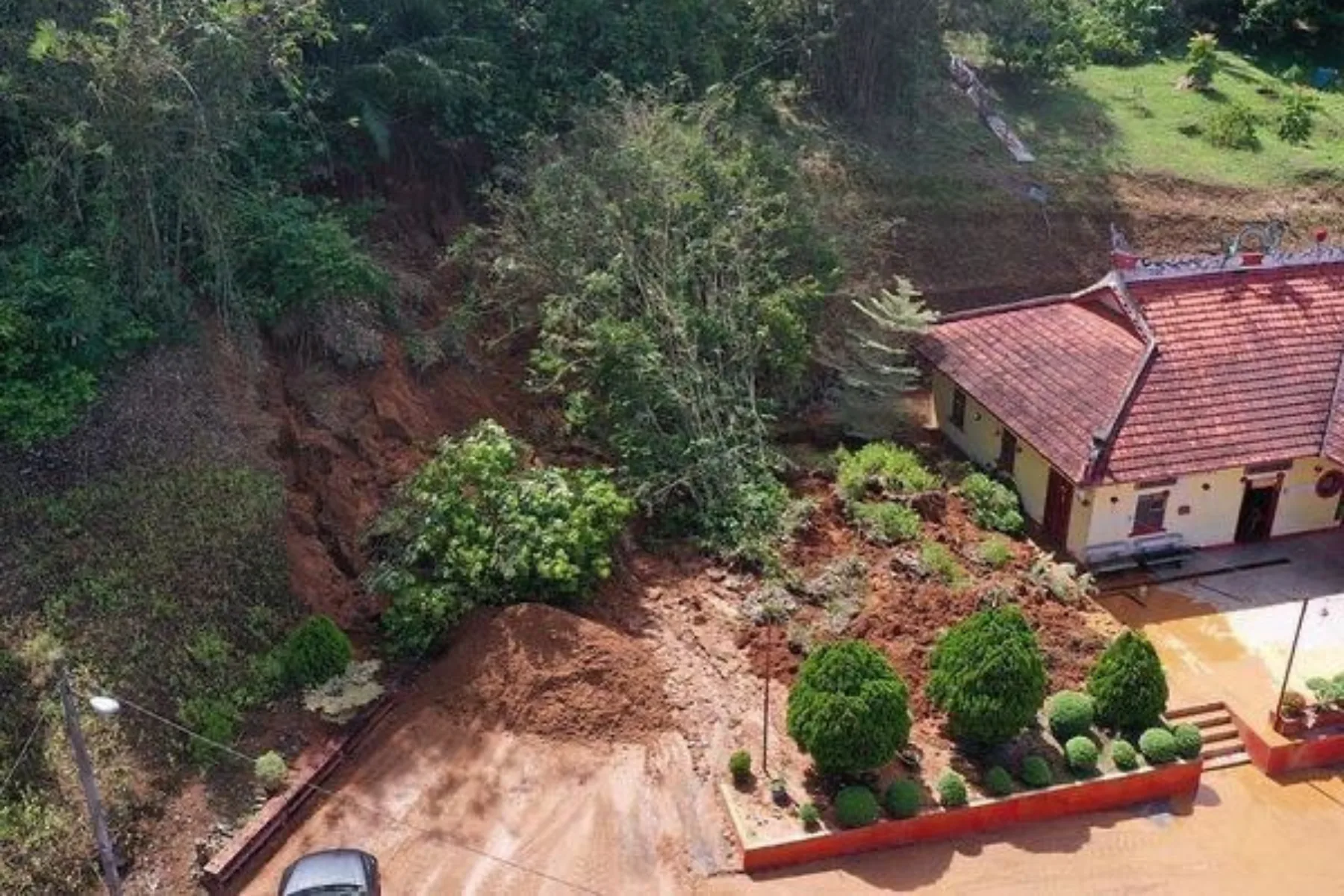
Rapid-deployment mapping of flood extent, landslide volume and fire-affected ground, with thermal anomaly alerting from the OroraTech satellite platform.
Conservation areas monitored, carbon credits calculated, reforestation tracked and illegal encroachment caught while it is still reversible.

Clearing, new access tracks and changed land use isolated by differencing successive captures over protected ground.
Ready to strengthen your environmental stewardship with survey-grade ecological intelligence and verified sustainability data?
Schedule a Consultation Today

