Our Vision
To be the preferred technology and package solutions partner in producing value-added images that successfully grow businesses.
About
Aerial, geospatial and digital-twin solutions for better decisions.
Company overview
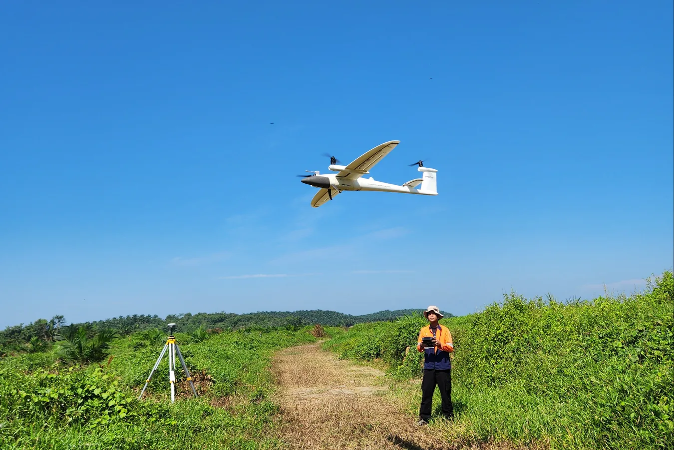
AECA Solutions began with more than 20 years of combined experience in still and motion imagery, from underwater to aerial work. We have grown from photography and videography into drone, data and software services.
Today, we provide field surveys, data capture and analysis, drone engineering and software development.
We work with technology partners and academic institutions to deliver practical geospatial solutions for government and industry.
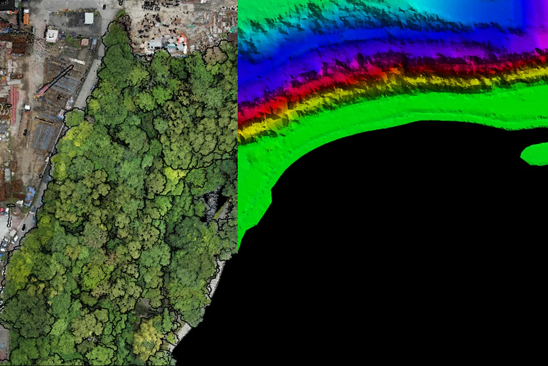
We turn field data into clear information that helps organisations work faster, safer and with more confidence.
Our team plans the mission, captures the data, processes it and delivers the result.
Using UAVs, mission-specific sensors and analytics software, we create useful maps, models and reports for real operations.
Vision, mission & objective
To be the preferred technology and package solutions partner in producing value-added images that successfully grow businesses.
To offer innovative solutions by efficiently utilising the latest technologies while keeping our pricing competitive.
As a pioneer of drone services in Malaysia with deep roots in professional imaging, we aim to be your trusted long-term partner, delivering exceptional value for every ringgit invested.
Core values & innovations
A passionate team backed by strong technical expertise and corporate business experience.
Industry-standard tools, UAV hardware and geospatial software, kept current.
Responsive to your operational needs, with dedicated long-term support.
Premium, survey-grade results at competitive rates.
Team & leadership

Chief Executive Officer

Chief Operating Officer
Certifications & recognitions

Information Security Management System certification.

Quality Management System certification.
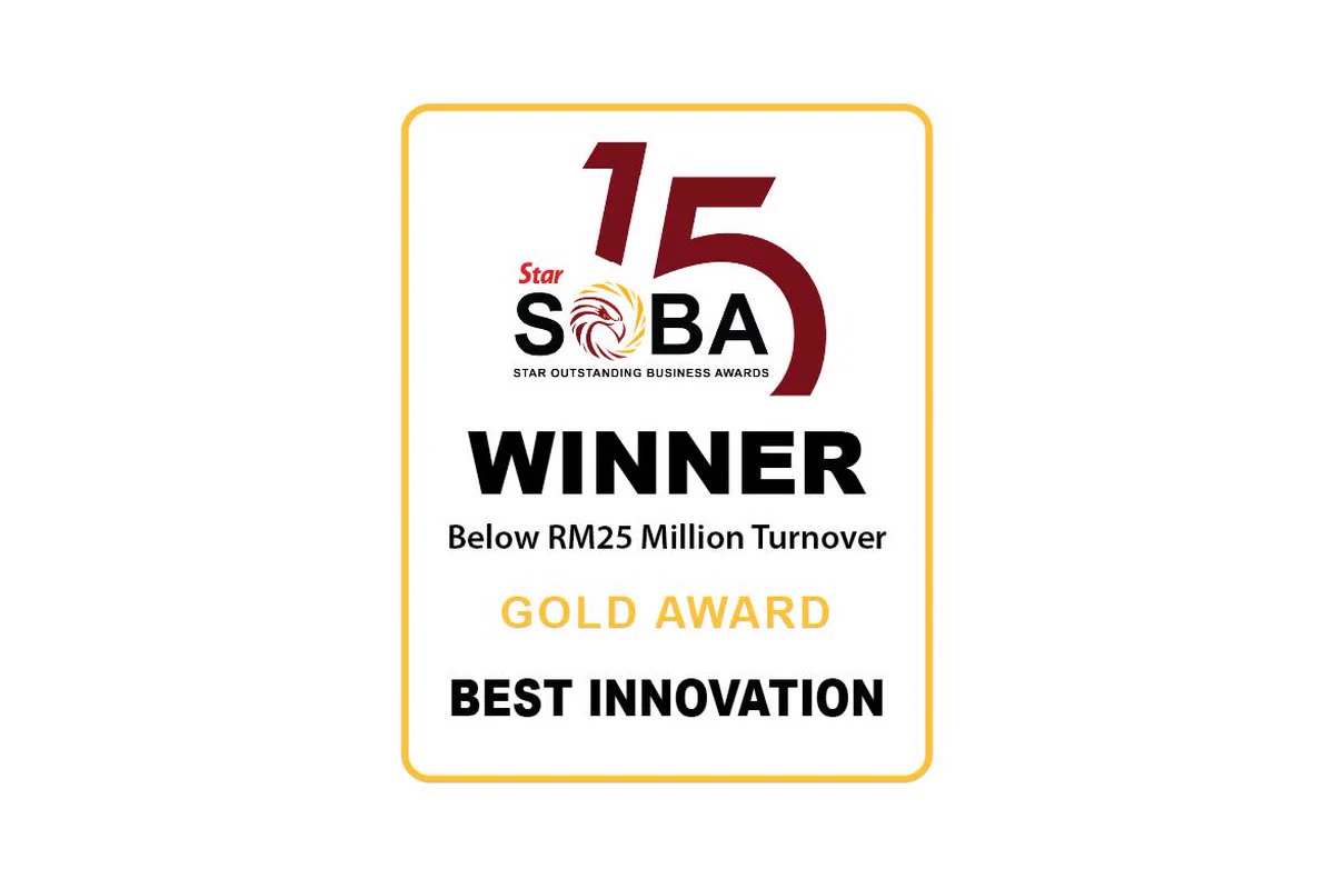
Gold Award for Best Innovation.
Copyright © 2026 AECA Solutions Sdn Bhd