

Solution
Road Asset & Defect Detection
High-speed pavement profiling, AI-powered defect detection and complete road asset inventories, engineered to optimise municipal and highway maintenance.
- Capture speed
- Normal highway speed
- Detection
- Automated defect classification
- Asset logging
- Signs, guardrails, lighting, markings
- Delivered for
- GIS and asset management systems
The challenge & transformation
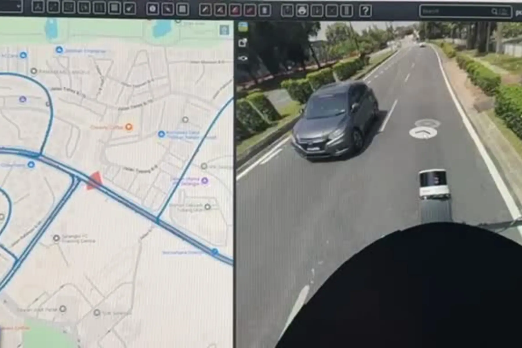
Traditional road condition assessments rely on manual visual inspection, or on slow logging methods that expose personnel to traffic hazards while delivering subjective, inconsistent results. By deploying mobile mapping systems paired with AI-driven defect detection, AECA Solutions transforms how road infrastructure is managed, capturing surface profiles and structural flaws to a point accuracy of 2 to 3 centimetres at normal driving speeds.
This automated approach compresses inspection timelines, evaluating entire highway networks in a single pass without disrupting traffic flow. By replacing manual subjectivity with objective, survey-grade analytics, your agency or asset management team can prioritise maintenance budgets, prevent costly structural failures and reduce operational overhead, delivering reliable infrastructure intelligence faster than before.
Planning a statewide road audit or a municipal maintenance schedule?
Speak with a Road Asset SpecialistThe capabilities & what we deliver
Vehicle-mounted scanning and computer vision, detecting defects and roadside assets from the same pass, before either causes an accident.

AI-powered defect & distress detection
Machine learning models identify, classify and measure pavement distress such as cracking, rutting and potholes, automatically and against one standard.
- Automated cracking and surface defect classification
- Pothole volume and depth quantification
- Rutting and surface deformation mapping
- Automated severity scoring for maintenance prioritisation

Surface smoothness and structural cross-falls measured at highway speed, to evidence compliance with engineering standards and safety guidelines.
- International Roughness Index (IRI) calculation
- High-accuracy slope and cross-fall measurement
- Surface texture and skid resistance assessment
- Longitudinal and transverse profile analysis

Road asset inventory & mapping
Roadside furniture, signs and safety barriers catalogued, geolocated and assessed into one centralised, GIS-ready database.
- Automated sign and guardrail inventory mapping
- Road furniture condition assessment
- Right-of-way encroachment tracking
- Enterprise-ready GIS and asset management synchronisation
Need a customised pavement analysis workflow or a specific compliance reporting format?
Request a Custom Technical ProposalApplied by Industries
The industries this work is commissioned in, and what automated detection changes in each.

Municipal road maintenance budgets optimised, asset tracking automated and inventories of urban street furniture kept up to date.

Long-term highway performance evidenced, toll road management streamlined and national transport safety standards met.

Condition and defect reporting on estate roads, where haulage damage goes unrecorded until a route becomes impassable.

Rapid assessment of road networks after an event, identifying structural washouts, blocked arteries and compromised bridges.

Roadside vegetation intrusion logged alongside surface condition, from the same drive.

Condition and asset records for access roads serving installations and restricted sites.
Ready to put your road condition and asset records on measured ground?
Schedule a Consultation Today

