

Product
OroraTech
Satellite data for early wildfire detection, spread tracking and thermal monitoring.
- Sensing
- Thermal infrared, space based
- Bands
- MWIR and LWIR, plus RGB context
- Processing
- On-board, on-orbit detection
- Coverage
- Global, day and night
Key features
A satellite-based analytics suite that covers every stage of wildfire management, from early detection through post-fire evaluation.
Wildfire solution
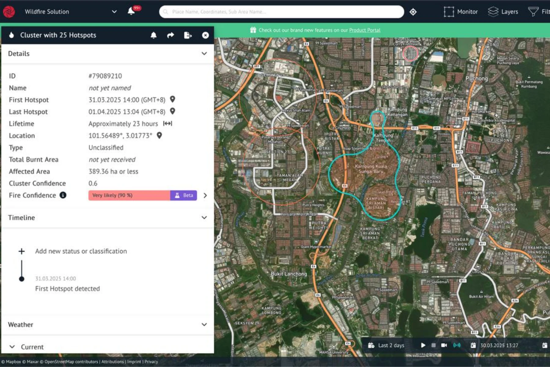
An all-in-one platform fusing data from more than 25 satellites with AI analytics for early hotspot detection, even through smoke.
Fire spread
Predictive modelling of fire behaviour, covering direction, speed and intensity, to guide response decisions and resource deployment.
Burnt area
High-resolution post-fire assessment to quantify burn severity, guide land rehabilitation and support insurance claims.
Land surface temperature
Global thermal mapping to detect heat anomalies, monitor critical assets and support climate resilience planning.
Technical specifications
Dedicated thermal infrared payloads combined with multi-satellite telemetry to deliver high-resolution imagery and low-latency alerts.
Full specifications on request Configuration, payload compatibility and operating performance vary by variant and mission profile. AECA supplies current manufacturer documentation, a tailored system recommendation and local support.
Use cases
Plantation and forestry fire watch
Early hotspot detection across estates and reserves that are too large to patrol and often too smoke-obscured for optical imagery.
Peatland and haze risk
Sub-surface and smouldering heat signatures surfaced early, when intervention is still practical.
Critical asset thermal monitoring
Heat anomaly detection around industrial sites, storage and infrastructure where a thermal change is the first sign of a problem.
Post-fire assessment and claims
Burn severity and extent quantified from orbit, to support rehabilitation planning and insurance documentation.
Other products
Compare platforms and payloads for your mission.
Technology consultation
Find the right technology.
Tell us your mission, payload and environment. We will recommend a suitable platform.


