

Solution
Mobile Mapping
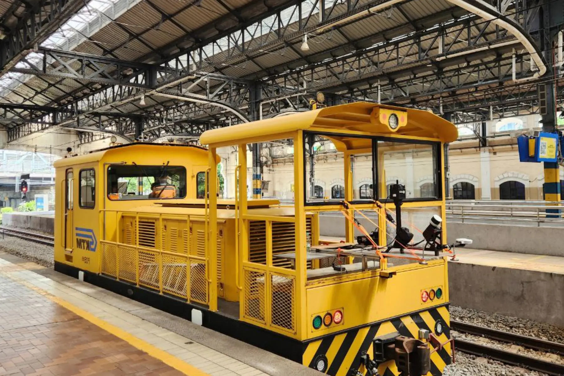
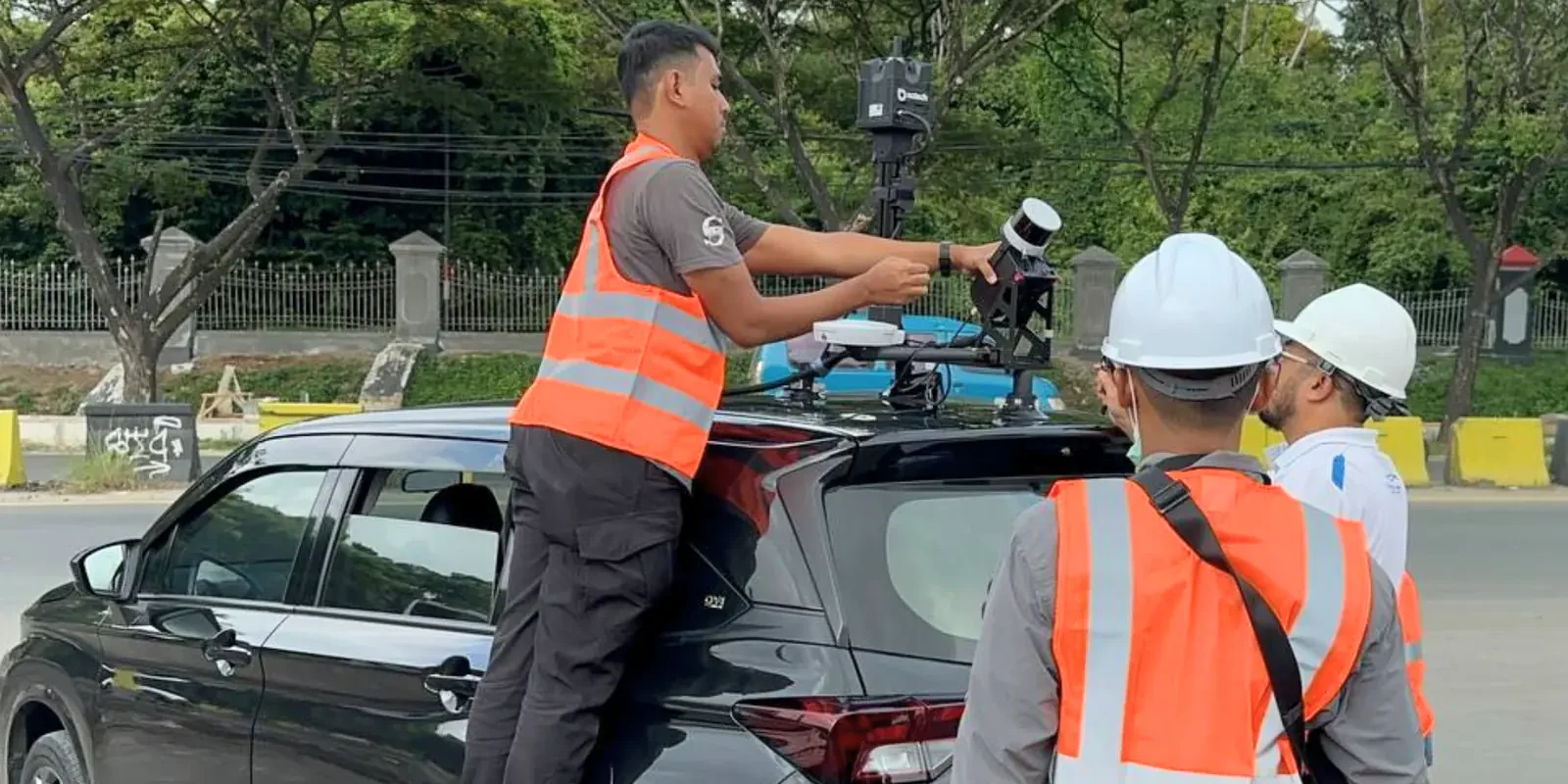
Vehicle-mounted capture of roads, utility corridors and rail at traffic speed, and the survey the road asset and defect detection work runs off.
- Network mapped
- Over 12,500 km
- Point accuracy
- 2 to 3 cm
- Core outputs
- Point cloud, DSM, cross-sections
- Delivered for
- CAD and GIS workflows
The challenge & transformation
Traditional street-level surveys require lane closures, disrupt public traffic and expose ground crews to hazardous roadside environments, while the data collection schedule drags out over weeks. By deploying vehicle-mounted mobile mapping systems carrying high-precision LiDAR and panoramic imagery sensors, AECA Solutions transforms how transportation networks and linear assets are recorded, capturing complete streetscapes at a point accuracy of 2 to 3 centimetres.
This high-speed mobile approach compresses survey timelines, recording kilometres of highway or utility corridor in a single drive-by pass. By replacing manual roadside measurement with automated, continuous capture, your operations save valuable hours, reduce safety risk and cut operational overhead, delivering reliable asset intelligence faster than before.
Planning a road corridor or transport network survey?
Speak with a Mobile Mapping SpecialistThe capabilities & what we deliver
Survey-grade capture at traffic speed, with no lane closures. What comes back is a continuous record of the corridor and everything beside it.

Utility corridor & railway mapping
Capture high-density 3D data across extensive linear infrastructure to manage clearance zones, overhead lines and track alignments safely.
- Overhead powerline and vegetation clearance analysis
- Railway track geometry and corridor modelling
- Subsurface and above-ground utility mapping
- Continuous linear asset inventory tracking

Assess pavement condition, road geometry and surface profiles at highway speeds without halting traffic flow.
- Precise road alignment and recalculation
- Surface roughness and rutting analysis
- High-accuracy slope and cross-fall measurements
- Automated road asset management and defect detection

Digital twin & urban asset inventory
Convert mobile point clouds into comprehensive 3D city models, capturing street furniture, signs and building facades with survey-grade precision.
- Roadside and urban asset inventory tracking
- Parking slot mapping and spatial auditing
- Facade and street-furniture modelling
- GIS-ready spatial database synchronisation
Need customised mobile scanning payloads or vehicle mounts for a unique terrain?
Request a Custom Technical ProposalApplied by Industries
The industries this work is commissioned in, and what a drive-by survey changes in each.

Municipal asset registers, parking inventories and urban digital twins built from exact roadside point clouds.
Highway maintenance, powerline safety clearances and railway corridor management from rapid vehicle-based capture.

Estate road networks, internal haulage routes and plantation infrastructure recorded without a survey crew on the ground.

Post-event assessment of road networks, bridge clearances and blocked transport arteries, to coordinate relief.

Roadside vegetation encroachment and corridor land cover, captured on the same pass as the carriageway.

Approach roads, perimeters and access routes around protected sites, measured rather than paced out.
Ready to map your transport corridors and infrastructure with speed and precision?
Schedule a Consultation Today

