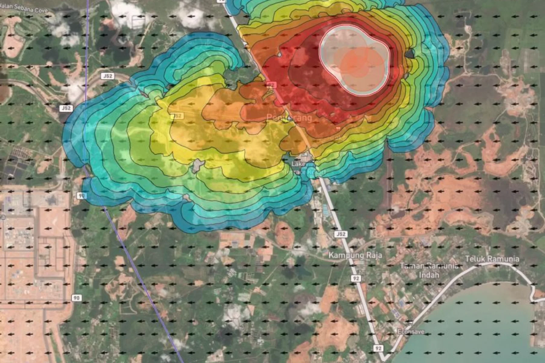

Landslide risk mapping
- The challenge
- Slope hazard across vegetated hillside cannot be assessed optically, because the canopy hides the ground geometry that determines whether a face is stable.
- The deployment
- Canopy-penetrating LiDAR drones mapped the terrain beneath the vegetation, with returns classified to separate ground from cover.
- The result
- A measured terrain model supporting stability assessment and a baseline for detecting movement on later captures. The work was presented at the International Slope Conference in Kuala Lumpur.