

Solution
Precision Agriculture
Crop health mapping, NDVI analytics and aerial diagnostics, designed to maximise plantation yield and optimise input down to the single tree.
- Largest survey
- 10,232 ha, eight estates
- Sensing
- Multispectral NDVI and NDRE
- Positioning
- GNSS RTK and PPK, 4 cm GSD
- Core outputs
- Tree health classes, nutrient maps
The challenge & transformation
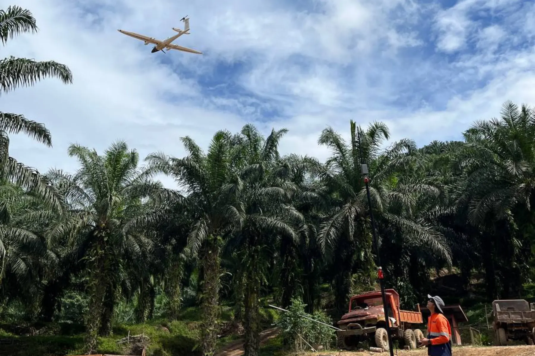
Traditional estate management relies on generalised field scouting and delayed sampling, leaving large areas exposed to undetected crop stress, nutrient deficiency and localised yield loss. By deploying agricultural drones carrying multispectral payloads, AECA Solutions transforms how plantation operations are monitored, capturing reflectance data that reveals crop health well before the symptoms are visible to the naked eye.
This aerial approach compresses monitoring timelines, covering up to 700 hectares of plantation blocks in a single flight and delivering at individual-tree resolution rather than block averages. By replacing guesswork with data-driven prescriptions, your management team can target fertiliser precisely, lower input costs and lift harvest yields. AECA has delivered this across 10,232 hectares and eight estates, at 4 cm ground sample distance.
Looking to optimise fertiliser application or map crop stress across your plantation?
Speak with a Precision Agriculture SpecialistThe capabilities & what we deliver
Multispectral survey at estate scale, calibrated against laboratory analysis and delivered tree by tree rather than as a block average.

Multispectral crop health & NDVI mapping
High-resolution multispectral imagery, calculated into vegetation indices (NDVI and NDRE) to monitor canopy vigour across the whole estate.
- Automated NDVI and NDRE index generation
- Plantation health and vigour assessment block by block
- Early-stage crop stress and disease detection
- Temporal growth tracking across seasonal cycles

Nutrient deficiency & variable rate prescriptions
Localised nutrient shortages identified and written into variable rate recommendation maps, so fertiliser is delivered where the yield response is.
- Precision nutrient deficiency mapping
- Variable rate application (VRA) files for the spreader
- Soil and leaf tissue analysis calibrating every prescription
- Input cost reduction and runoff mitigation modelling

Tree counting, inventory & biomass estimation
Individual crops counted automatically, palm and tree spacing assessed, and block inventories calculated tree by tree rather than from a sample.
- Automated palm and tree counting algorithms
- Stand density and missing tree mapping
- Canopy cover and biomass estimation
- Yield potential forecasting and block sizing
Need customised crop analytics, or integration with your existing plantation management system?
Request a Custom Technical ProposalApplied by Industries
The industries this work is commissioned in, and what tree-level data changes in each.

National agricultural boards and rural development agencies monitoring crop production, food security metrics and land use compliance.

Vegetation and land cover along corridors crossing plantation land, mapped from the same multispectral capture.
Oil palm, rubber and commercial crop yields raised through targeted fertiliser deployment, continuous health monitoring and precise inventory tracking.

Crop and stand damage assessment after flood, fire or storm, measured per tree rather than estimated per block.

Agricultural expansion boundaries evaluated and buffer zones monitored, so estate practice stays sustainable and compliant.

Plantation boundary and encroachment change detection, giving land offices a dated, positioned record.
Ready to transform your agricultural operations with multispectral intelligence and precision crop analytics?
Schedule a Consultation Today

