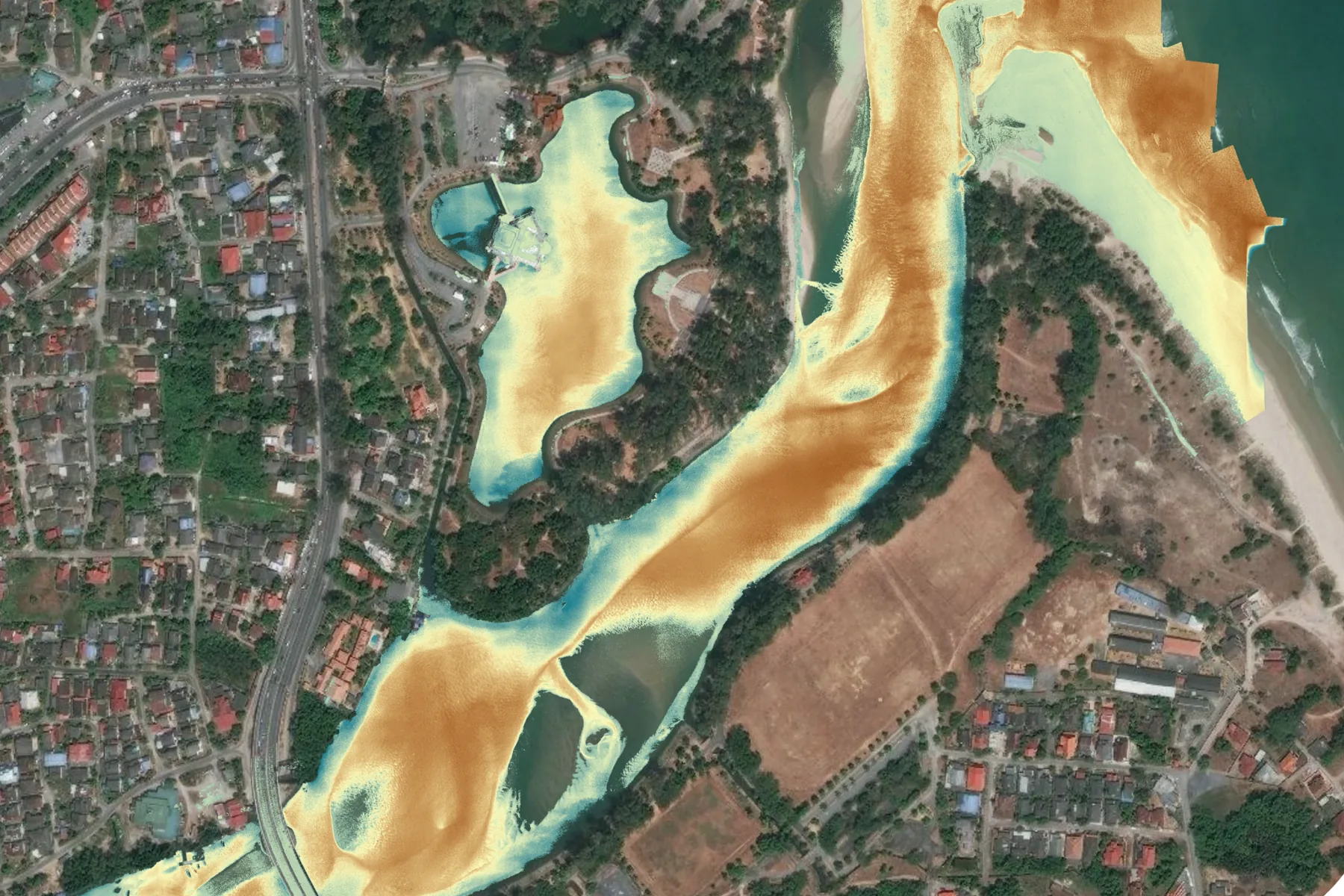




Terrain beneath the canopy beside a former mining lake
- The challenge
- A masterplan built around a 28 acre lake sits beside a former mining site where ground falls 40 metres below sea level, under canopy optical survey cannot recover.
- The deployment
- Drone LiDAR with the Scanfly Ultra X and its Hesai XT32M2X sensor, flown inside an active construction zone, returns classified to separate vegetation from bare earth.
- The result
- A digital elevation model of the vegetated ground, validated at 0.06 metres RMSE. Paired with multispectral capture, the same flight supports carbon content estimation for green construction reporting.