

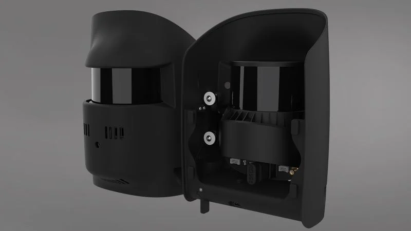
LiDAR
Qube 640
Field of view selectable to 176°
Co-developed with YellowScan, with an 8 MP RGB camera built in so the point cloud is coloured in flight rather than in a second pass.
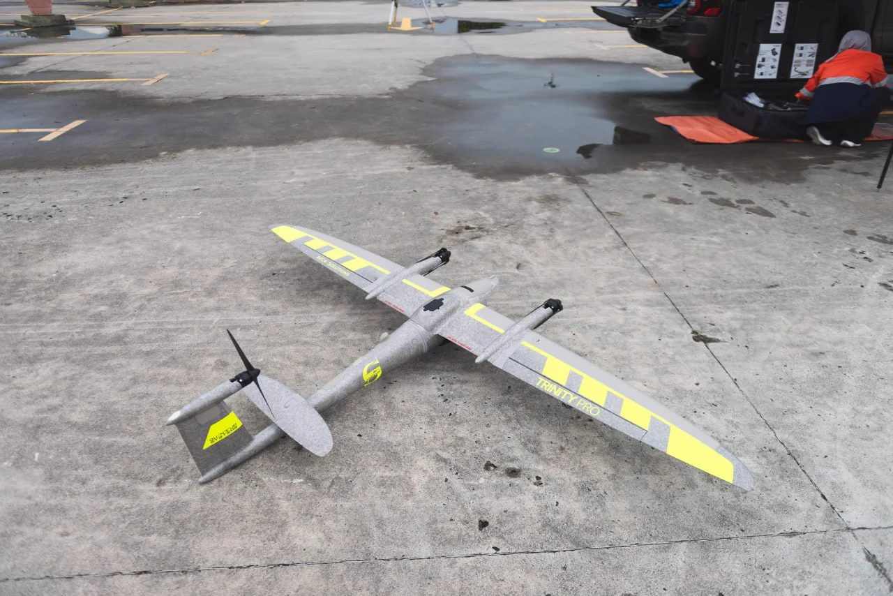
Quantum Systems · Product
A long-endurance mapping drone with survey-grade accuracy for challenging terrain.
Built for high-precision, large-area data collection with long endurance and the convenience of vertical take-off and landing.
Enables long-range mapping missions and covers up to 700 hectares per flight.
Delivers integrated, centimetre-level accuracy for high-precision mapping outputs.
Hot-swap between multiple payload options including RGB, multispectral, oblique and LiDAR.
Designed for reliable field deployment in demanding environments.
Engineering and operational figures for the Trinity mapping platform.
| Specification | Value |
|---|---|
| Configuration | eVTOL fixed-wing |
| Wingspan | 2.394 m |
| Maximum take-off weight | 5.75 kg |
| Flight time | 90 minutes |
| Maximum coverage | 100 km or 700 ha |
| Cruise speed | 17 m/s (optimal) |
| Wind tolerance | 11 m/s in hover phase, 14 m/s during cruise |
| Maximum take-off altitude | 4800 m |
| Data link range | 5 - 7.5 km |
| Data link frequency | 2.4 GHz |
| IP rating | IP55 |
| Operating temperature | -12 °C to +50 °C |
| Packing size | 100.2 x 83 x 27 cm |
| Camera options | Hot-swappable; see the payload cards below |
Figures are manufacturer specifications; achievable performance varies with payload, altitude and conditions.
Trinity carries a hot-swappable payload bay, so one airframe covers LiDAR, high-resolution RGB and oblique 3D capture. AECA supplies and supports each of these.
LiDAR
Field of view selectable to 176°
Co-developed with YellowScan, with an 8 MP RGB camera built in so the point cloud is coloured in flight rather than in a second pass.
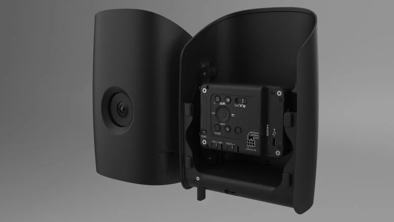
RGB
61 MP, 35 mm full frame
Covers 260 hectares in a flight at 1 cm per pixel. The general-purpose mapping camera for orthomosaics and topographic work.
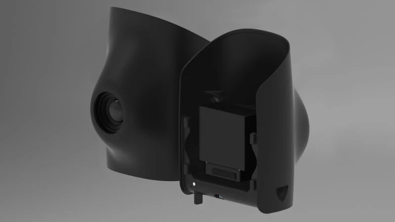
RGB, medium format
128 MP, 0.3 cm RMS XY
The accuracy option: medium format resolution to 0.3 cm horizontal and 0.8 cm vertical absolute, where the survey has to stand up to scrutiny.
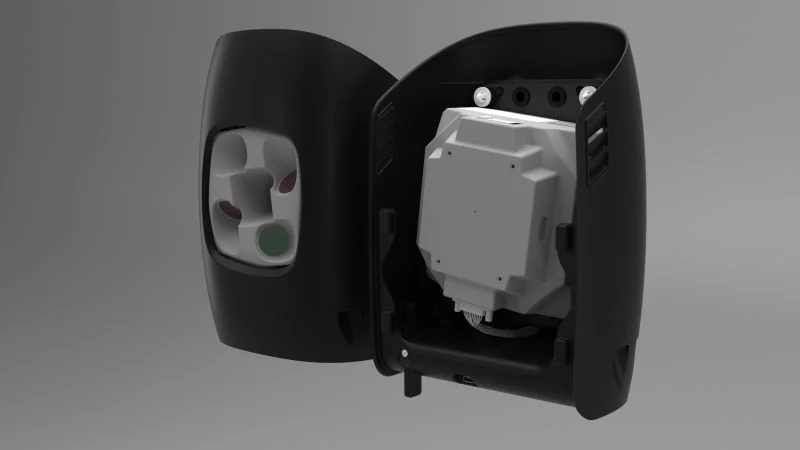
3D capture
5 cameras, 130 MP, 1.5 cm at 100 m
Four oblique heads and one nadir firing together, so building faces and vertical structure are captured in the same pass as the ground.
Topographic mapping, corridor survey and as-built comparison over sites too large for a multirotor to cover economically.
Multispectral capture across plantation blocks for canopy health indexing and stand inventory.
Repeat capture for volumetric calculation and surface-change reporting between dates.
Wide-area capture over reserves, catchments and coastlines where ground access is limited.
The rest of the Quantum Systems range, then the other platforms and payloads AECA supplies.
The Quantum Systems range
Other products
Technology consultation
Tell us your mission, payload and environment. We will recommend a suitable platform.
Copyright © 2026 AECA Solutions Sdn Bhd


