Urban transformation is no longer a distant ambition for Southeast Asia. From Kuala Lumpur to Singapore, from provincial capitals to emerging townships, change is already happening. Yet, turning “smart city” aspirations into everyday reality is a complex journey. It requires not just vision, but the right tools. Not just intent, but actionable intelligence.
Across ASEAN, an underlying question is: how do we make daily life smoother, safer, and greener for millions of people — and do it in a way that lasts?
A smart city isn’t just about installing the newest tech. It’s about being responsive, inclusive, and resilient — making sure the right tools actually solve real problems for real people.
That is where geospatial technology steps in — enabling cities to connect people, data, and decisions on a living, evolving map.

From vision to action: The role of geospatial intelligence
At ASUF 2025 (ASEAN Sustainable Urbanization Forum), AECA Solutions — the event’s Strategic Geospatial Intelligence Partner — brought this vision into sharp focus.
The highlight was AECA’s panel “Digital Twins & Data-Driven Cities: Geospatial Technologies Powering Future-Ready ASEAN Cities”, which gathered leaders from government-linked enterprises, private sector innovators, and international experts.
What a data-driven city looks like: Technology in action
The panel revealed powerful examples of how geospatial intelligence is already transforming urban systems:
Smarter data capture and data sharing
Not every area needs high-resolution data. By capturing selectively and sharing across agencies, costs can be reduced — and sometimes, data can even be provided free.
Integrated command centres
Sunway City is setting up an Integrated Command Centre — with live monitoring of building elements, temperature stats, facility management, parking, and even smart toilets – while overcoming the challenge of integrating many systems that “speak different languages” into one cohesive platform.
The integration payoff
From security systems without APIs to facility management loops, the cost and effort of integration is high. But the payoff is clear: streamlined operations and an estimated 30% efficiency gain in township management.
Urban planning in Singapore
Targets like “more trees than people” require mobile #LiDAR scanning and citywide digitalisation. Once collected, this data is shared across sectors — from housing to defence — ensuring every square metre of land is optimised.
Road safety through AI and mapping
Daily digital road maps combined with AI now detect defects like potholes and cracks — preventing small issues from becoming costly disasters.
Each example underscores the same point: a data-driven city is not about collecting more data, but about using the right data in the right way.

From panel insights to regional lessons
The panel, moderated by Sr. Kavitha Seras , Founder, GeoHub Sussol Services, featured contributions from:
- Ariffin Aris , COO, AECA Solutions Sdn. Bhd. : Showcased AECA’s 3D aerial mapping of Kuala Lumpur City Centre and Bandar Sunway, mobile road mapping in Selangor, and AI-powered analytics for infrastructure audits.
- Ziqing Liew , Head of Digitalisation, Development & Delivery (3D), Sunway Property – Shared how digital twin modelling enhances Sunway’s integrated ecosystem for energy efficiency, mobility, and facility management.
- Mohd. Fariz Ghazali , CEO, Infrasel Sdn. Bhd. – Highlighted challenges faced by infrastructure concessionaires, and how data-driven maintenance models can transform service delivery.
- Maziana Muhamad , Director, Woolpert Asia-Pacific : Offered global perspectives, from Singapore Land Authority (SLA) to infrastructure benchmarking, and stressed the need for capacity building in ASEAN cities.
Key outcomes
From the diverse perspectives, some clear consensus emerged:
- Digital twins are critical tools – No longer futuristic, they are becoming essential for cities to operationalise SDGs through planning and service delivery.
- Geospatial bridges aspirations and action – It connects high-level policy goals with practical, on-ground implementation.
- Public-private partnerships are non-negotiable – Governments cannot build these systems alone. Collaboration with technology providers is vital for cost-effective, scalable solutions.
- Capacity building is crucial – Upskilling city staff and improving data governance ensures long-term adoption and optimisation.
- ASEAN cities can lead globally – With the right models, ASEAN can showcase SDG-driven innovation to the world.
The road ahead
The consensus at ASUF 2025 was clear: technology is no longer the barrier — integration, collaboration, and governance are.
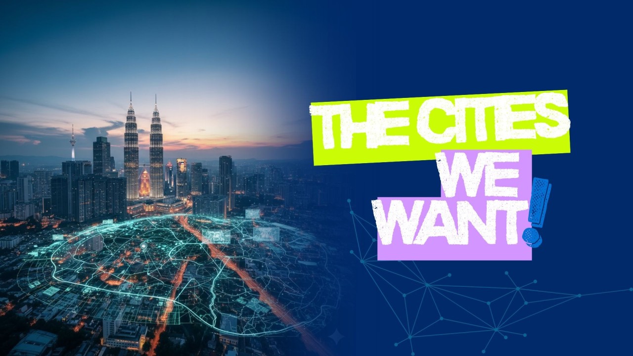
The cities we want — responsive, sustainable, and inclusive — will not appear overnight. But as the panel demonstrated, they are already within reach when stakeholders commit to building them together.
For AECA Solutions, this is not just about technology. It is about helping cities navigate the how of urban transformation — with geospatial intelligence as the foundation.