

Product
Quantum Systems
Long-endurance VTOL drones from Quantum Systems in two lines: mapping drones and ISR drones.
- Origin
- German engineered
- Airframe
- VTOL fixed-wing
- Platforms
- Trinity Pro, Trinity Tactical, Vector
- Support
- Supplied and serviced by AECA
Key features
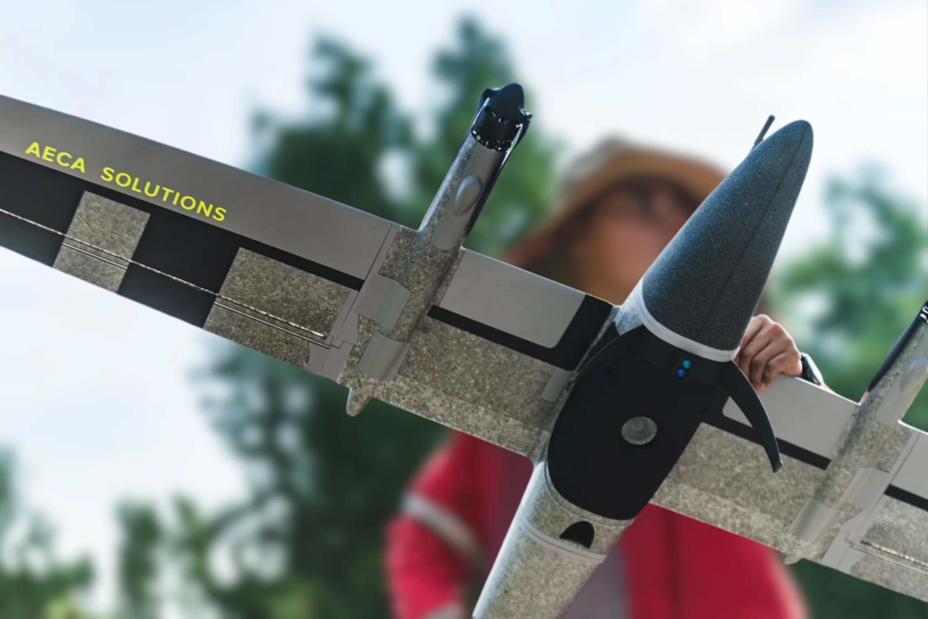
Quantum Systems UAVs combine the vertical take-off of a multirotor with the range and efficiency of a fixed wing. The result is a platform that launches and lands in tight spaces, yet covers large areas in a single flight.
VTOL fixed-wing design
Vertical take-off and landing means no runway is needed, while the fixed-wing body delivers the speed, range and efficiency to cover far more ground than a standard multirotor.
Long endurance and wide coverage
Survey large sites, corridors and remote areas in a single flight, cutting the number of sorties and the time your team spends in the field.
Professional-grade sensors
Carry high-resolution RGB, multispectral and survey-grade payloads to produce accurate orthomosaics, 3D models and analytics-ready datasets.
Rugged and field-ready
Engineered for demanding environments and repeatable missions, with fast set-up so crews can be airborne in minutes.
Trinity Pro specifications
The long-endurance mapping airframe. Full model-level figures are on the Trinity page.
| Specification | Value |
|---|---|
| Configuration | eVTOL fixed-wing |
| Wingspan | 2.394 m |
| Maximum take-off weight | 5.75 kg |
| Flight time | 90 minutes |
| Maximum coverage | 100 km or 700 ha |
| Maximum take-off altitude | 4800 m |
| IP rating | IP55 |
Vector AI specifications
The intelligence and surveillance airframe. Full model-level figures are on the Vector page.
| Specification | Value |
|---|---|
| Configuration | 2-in-1 eVTOL fixed-wing / multirotor |
| Wingspan | 2.8 m |
| Maximum take-off weight | 9.5 kg |
| Flight endurance | 180+ min |
| Data link | 40+ km, AES 256 encrypted |
| IP rating | IP55 |
Manufacturer figures. Final capability depends on payload, permissions, weather and operating conditions.
Mapping drone
For measuring ground: survey-grade output over large areas, flown from a small clearing and delivered at centimetre accuracy.
Trinity Pro
Topographic survey, corridor mapping, plantation blocks, mining volumes and repeat capture where two dates have to be directly comparable. 90 minutes and up to 700 hectares in one flight, with vertical take-off so no runway or catapult is needed on site. Hot-swappable mapping payloads -- LiDAR, full-frame and medium-format RGB, oblique arrays and multispectral -- with integrated PPK GNSS holding the accuracy.
ISR drones
For watching: hours of persistent awareness over an area, on an encrypted link, with the aircraft able to hold position as well as cover ground.
Vector
Intelligence, surveillance and reconnaissance: monitoring, patrol, situational awareness over a site or a border, and support to an incident already under way. Over 180 minutes on station and a data link past 40 km, in a 2-in-1 configuration that flies as a fixed wing to reach the area and as a multirotor to stay over it. Carries EO/IR gimbals for day and thermal observation on an AES 256 encrypted downlink.
Trinity Tactical
The Trinity airframe configured for reconnaissance rather than survey: the same vertical take-off and long endurance, set up for observation and situational awareness in the field. Specifications on request.
Use cases
Surveying and mapping
Survey-grade orthomosaics, topographic mapping and volumetric measurement over large or hard-to-reach sites.
Security and surveillance
Long-endurance aerial awareness for monitoring, patrol and intelligence missions over wide areas.
Agriculture and environment
Large-area crop health analysis, land-use monitoring and environmental assessment with multispectral payloads.
Infrastructure inspection
Corridor mapping and asset inspection along roads, pipelines, power lines and rail over long distances.
Other platforms & payloads
The platforms in this range, then the other technology AECA supplies.
Other products
Technology consultation
Find the right technology.
Tell us your mission, payload and environment. We will recommend a suitable platform.


