For many drone mapping teams, multirotor drones are the natural starting point. They’re accessible, familiar, affordable to most, and effective for small sites or short missions. But as projects scale up — covering larger areas, tougher terrain, and tighter timelines — the limitations of multirotor drones become harder to ignore.
In markets like Malaysia, where drone mapping is rarely conducted in controlled or predictable environments, the choice of platform can determine whether a project moves smoothly or gets delayed, rescheduled, or compromised.
This is why more operators are now rethinking their approach — and increasingly moving toward VTOL fixed-wing drones for large-area mapping.
Drone mapping in Malaysia: Fixed-wing vs multirotor drones explained
Malaysia presents some of the most demanding real-world conditions for drone operations.
Why multirotor drones are common — and where they fall short
Multirotor drones dominate the market because they are:
- Easier to deploy for small sites
- Affordable and widely available
- Familiar to most operators
However, these strengths also define their limits. Multirotor drones are inherently constrained by short endurance, smaller coverage per flight, and higher dependence on repeated takeoffs and landings — all of which become significant challenges when mapping large or complex sites.

Dense rainforests, uneven terrain, and limited takeoff zones
Malaysia’s true tropical rainforests are unlike managed or secondary forests elsewhere. Canopies are extremely dense, vegetation layers stack meters deep, and the forest floor is often invisible even from above.
In these environments:
- Finding a clear takeoff and landing spot becomes one of the hardest parts of the mission
- Multirotor drones require unobstructed vertical paths, which are rare under thick canopy
- Limited motor and propeller power makes climbing to operational altitude difficult in confined terrain
- Takeoff and landing consume a disproportionate amount of battery, reducing usable mapping time
- Sudden gusts during transition are a common cause of drone crashes in Malaysia
Traditional fixed-wing drones introduce a different set of challenges, often requiring long clear runways, belly landings, or recovery nets — increasing wear and tear and creating safety concerns, especially near public areas.
Weather windows, cloud cover, and mission delays
Cloud cover is one of the biggest disruptors of drone mapping in Malaysia, particularly in hilly and mountainous regions where clear-sky windows are short.
Multirotor operators face constant trade-offs:
- Fly low, and spend significantly more time covering the same area
- Fly higher, and compromise image resolution and mapping accuracy
- Miss the short clear window, and the entire mission gets pushed
These constraints directly impact timelines, resource utilisation, and overall project reliability.

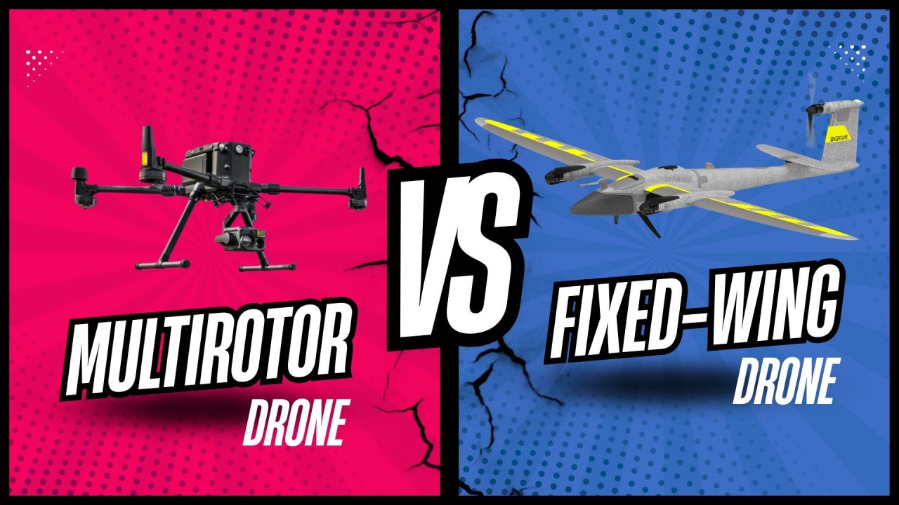
VTOL fixed-wing drones vs multirotor drones: The smarter choice for large-area mapping
VTOL fixed-wing platforms are designed specifically to overcome the challenges that limit multirotor drones at scale.
Area coverage and endurance: From tens to hundreds of hectares
A typical multirotor drone may cover tens of hectares per flight, requiring multiple sorties, battery swaps, and repeated setups.
A VTOL fixed-wing system like the Trinity Pro can cover up to 700 hectares in a single flight.
This shift fundamentally changes operations:
- Projects completed in days instead of weeks
- Fewer field deployments and fewer batteries
- Faster data delivery with lower cumulative effort
Autonomous operations and reduced crash risk
Most multirotor and earlier-generation fixed-wing drones remain semi-autonomous, relying heavily on pilot input and constant oversight.
The Trinity Pro operates with true end-to-end autonomy:
- Fully autonomous flights from takeoff to landing
- Precise, repeatable flight paths
- Reduced reliance on pilot availability and skill
- Lower crash risk through stable, predictable execution
To support this transition, AECA Solutions provides hands-on training for initial missions, helping teams overcome learning curves and operational discomfort quickly.
Vertical takeoff, Obstacle clearance, and altitude capability
A common operational question is how altitude capability translates into real-world value.
The Trinity Pro can perform its vertical takeoff up to approximately 60 metres before transitioning to fixed-wing cruise. This capability enables operators to:
- Clear dense forest canopy safely
- Lift above ridgelines, valleys, and undulating terrain
- Transition above urban structures in built-up areas
This isn’t about extreme altitude — it’s about clearing obstacles confidently, without compromising safety or data quality.
Wind resistance and stability in real conditions
Wind-related instability during takeoff and landing is one of the leading causes of drone crashes.
The Trinity Pro is engineered with:
- Stronger propellers for higher wind resistance
- Stable VTOL transitions
- Reduced vulnerability during the most critical flight phases
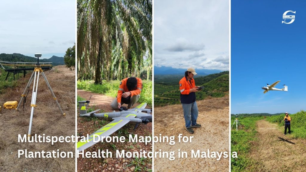
Field-tested across Malaysia’s mountainous regions, narrow valleys, and exposed sites, the platform has proven its durability where many drones struggle.

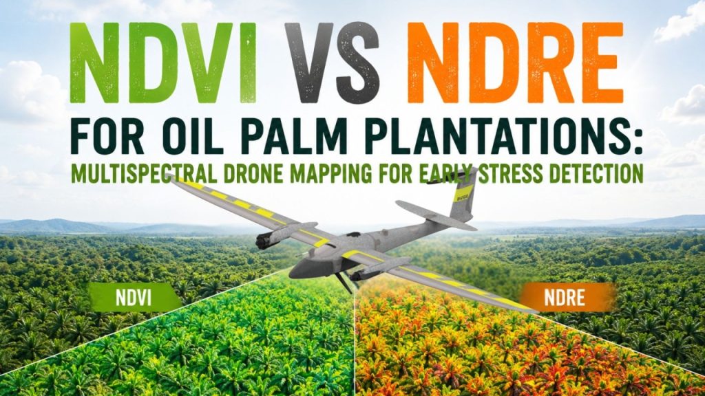
Multispectral mapping at scale
For agriculture, plantations, and land management, multispectral data is only valuable if it can be captured consistently and efficiently.
The Trinity Pro supports multispectral sensors, enabling:
- Large-area crop health and stress analysis
- Drainage and nutrient monitoring
- Centimeter-level accuracy with fewer flights
Fixed-wing endurance allows teams to collect richer datasets with less time in the field — improving insight while improving ROI.
Integrated remote ID and operational readiness
The Trinity Pro comes with built-in Remote ID, offering:
- Real-time accountability
- Improved operational safety
- Readiness for evolving regulatory and airspace requirements
With Remote ID integrated, operators avoid external add-ons, retrofits, and compliance uncertainty.
A smarter upgrade path for existing drone operators
Recognising that many teams already own capable drones, Quantum Systems has introduced a limited-time exchange program, allowing operators to trade in existing multirotor or fixed-wing platforms for the Trinity Pro — with meaningful value applied toward the upgrade.
This isn’t just a hardware change. It’s a shift toward:
- Safer, more autonomous operations
- Higher productivity per mission
- Better use of every field day
- Greater capacity to take on more projects
AECA Solutions Sdn. Bhd. is the official reseller of Quantum Systems for Trinity Pro drones in Malaysia. For queries, demo, or training support, connect with us or write to us at drone@aeca-solutions.com