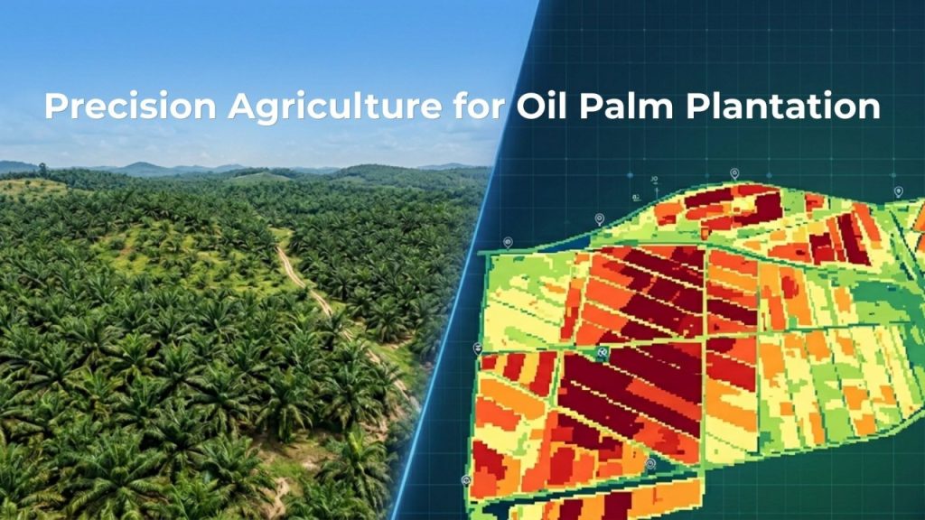
Discover how multispectral drone mapping was applied across large-scale plantations in Malaysia to monitor crop health, detect early stress using NDVI, and enable data-driven yield optimization.
Southeast Asia is home to some of the world’s largest and most economically important plantation landscapes spanning oil palm, rubber, and other high-value crops across countries like Malaysia and Indonesia. These plantations support millions of livelihoods and play a critical role in global supply chains.
But managing plantation health at this scale is far from simple. As plantation sizes grow, so does the complexity of managing them. Variability in soil, water availability, and crop conditions across thousands of hectares makes consistent monitoring a persistent challenge.
This is where multispectral drone mapping in agriculture is beginning to reshape how plantations are understood offering a scalable, data-driven approach to monitoring crop health with precision.
Understanding plantation health: Why early detection matters
For many plantation owners and smallholders, the question isn’t whether the land is productive, it’s whether we truly understand what it is trying to tell us.
Because by the time stress becomes visible to the eye, it’s often already too late. Yields are affected. Costs go up. And decisions become reactive instead of planned.
This is exactly the gap that multispectral drone mapping in agriculture is beginning to close with real, measurable insight from the ground.
A case from the field: Monitoring 10,000+ hectares in Malaysia
AECA Solutions Sdn. Bhd. was commissioned by Malaysia’s Rubber Industry Smallholders Development Authority (RISDA) for a large-scale plantation health monitoring initiative using drone mapping.
RISDA is a national body responsible for supporting thousands of smallholder farmers many of whom depend directly on plantation output for their livelihoods. Plantation performance thus directly affects:
- Farmer income stability
- Resource efficiency at scale
- Long-term agricultural sustainability

The project focused on multispectral aerial (drone) mapping for plantation health assessment across multiple estates in Peninsular Malaysia with the following objectives:
- Monitor tree health (NDVI and NDRE)
- Tree counting for crop management
Over one and a half months, aerial data acquisition covered 10,232.20 hectares across eight oil palm plantations located in:
- Kedah
- Perak
- Pahang
- Negeri Sembilan
PROJECT FILE

Client: Rubber Industry Smallholders Development Authority (RISDA), Malaysia

Estates surveyed: 8 oil palm plantations across Kedah, Perak, Pahang, Negeri Sembilan

Total area mapped: 10,232.20 hectares

Duration: 21 operational days, 54 flight missions

Technology: Quantum Systems Trinity F90+, MicaSense RedEdge-MX, CHCNAV i83 GNSS RTK/PPK

Data captured: Multispectral imagery; high-resolution RGB imagery; centimeter-level positioning
Why traditional plantation monitoring methods fall short
Walk through a plantation, and you’ll see patterns some trees thriving, others struggling.
But traditional observation has limits:
- You can’t detect early nutrient stress
- You can’t monitor thousands of hectares consistently
This is where drone-based remote sensing in agriculture begins to shift the equation from observation to measurable insight.

Using multispectral drone mapping for plantation monitoring
What is multispectral drone mapping: Multispectral drone mapping is a method of capturing aerial data using advanced sensors that record both visible light and non-visible wavelengths, such as near-infrared and red-edge. This allows for deeper analysis of plant health, soil conditions, and environmental factors.
By revealing subtle changes that are not visible to the human eye, it helps identify early signs of stress such as pests, disease, or water deficiency enabling more precise and targeted farm management.

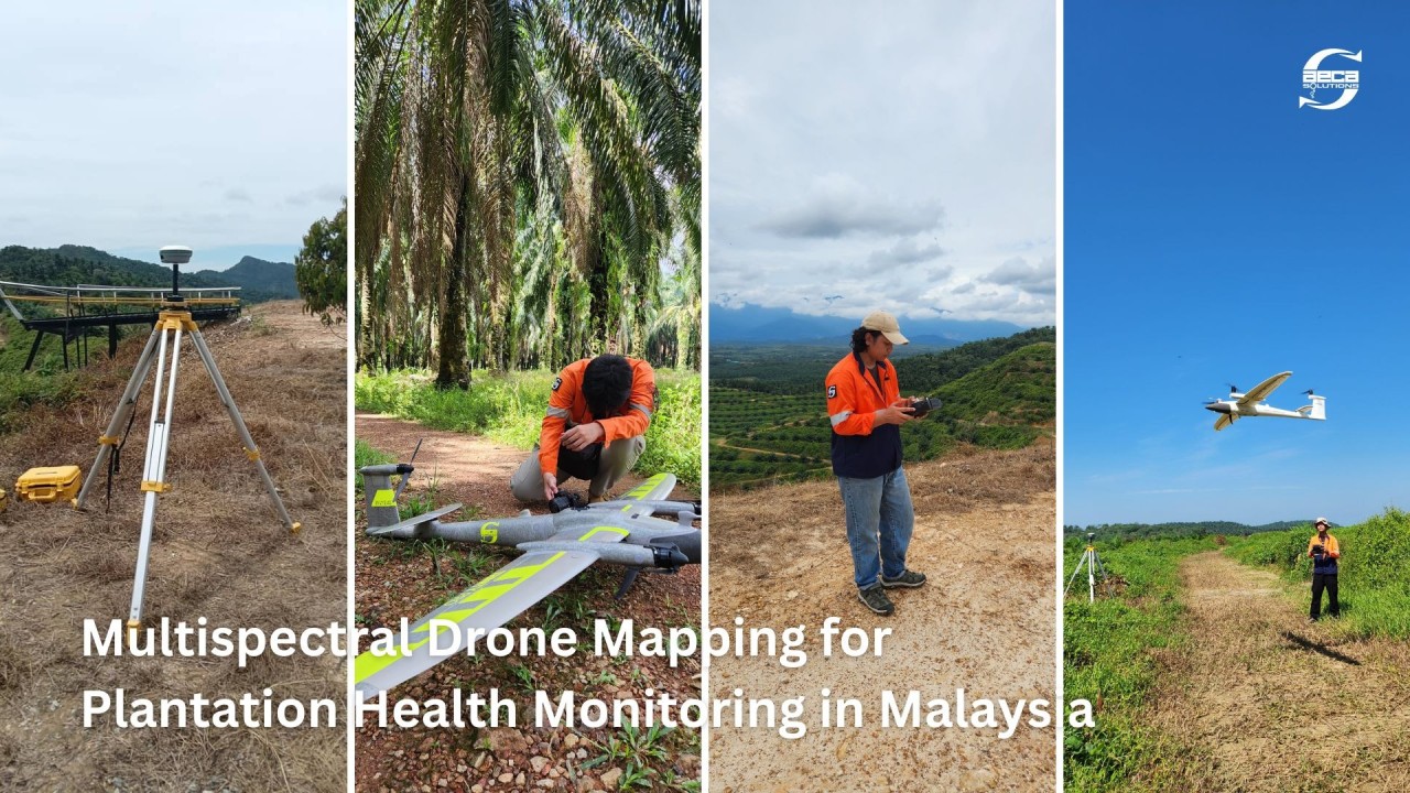
In this project, the AECA Solutions team conducted 54 aerial missions deploying the Quantum Systems Trinity F90+, an eVTOL fixed-wing drone designed for large-area coverage each lasting up to 90 minutes.
Data captured:
- Multispectral imagery (MicaSense RedEdge-MX)
- High-resolution RGB imagery
- Centimeter-level positioning (GNSS)
Each plantation required 3–4 days of operations, depending on size and weather.
Behind the scenes, a structured workflow ensured accuracy and consistency:
- Flight planning based on terrain
- Radiometric calibration
- Advanced photogrammetry
- High-precision post-processing
For plantation operators already working with drone service providers, platform choice matters at scale. Most agricultural drone surveys are conducted using multirotor drones — reliable for smaller areas, but limited in coverage and endurance.
Delivering consistent, high-quality multispectral data across hundreds or thousands of hectares requires a fundamentally different platform. It is worth assessing whether the current mapping provider’s equipment is built for a programme of this scope.
TECHNOLOGY STACK: WHAT MADE THE LARGE-SCALE MULTISPECTRAL MAPPING POSSIBLE.

Surveying 10,232 hectares across four states in 21 operational days demands a specific combination of hardware, sensors, and positioning systems. Each component was selected for a reason.

1. UAV Platform: Quantum Systems Trinity F90+ (eVTOL Fixed-Wing).

The Trinity F90+ is a hybrid electric vertical take-off and landing (eVTOL) fixed-wing drone — combining the launch and recovery flexibility of a multirotor with the endurance and coverage efficiency of a fixed-wing aircraft. With flight times of up to 90 minutes per mission, it is specifically designed for large-area agricultural surveys where quadrotor drones would require impractical numbers of battery swaps and repositioning. For a project of this scale, this was not a nice-to-have — it was the enabling condition.

2. Multispectral Sensor: MicaSense RedEdge-MX.

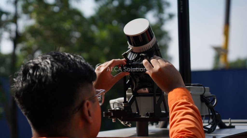
Standard RGB photography tells you what a plantation looks like. Multispectral imaging tells you what it is doing biologically. The MicaSense RedEdge-MX captures five discrete spectral bands — Blue, Green, Red, Red Edge, and Near-Infrared (NIR) — enabling the calculation of vegetation indices that are invisible to the naked eye. This is the sensor that converts aerial imagery into plant health intelligence.

3. RGB Camera: Sony UMC R10-C.

High-resolution RGB imagery at approximately 6 cm ground sampling distance (GSD) provided the visual base layer for orthophoto generation, canopy structure assessment, and plantation layout analysis. Combined with the multispectral data, this allowed both qualitative visual inspection and quantitative biological analysis from the same flight.

4. Positioning: CHCNAV i83 GNSS with RTK/PPK.

Centimetre-level positioning accuracy is not optional for a survey that needs to be spatially reproducible across multiple estates and multiple seasons. The CHCNAV i83 GNSS receiver supports both Real-Time Kinematic (RTK) and Post-Processed Kinematic (PPK) positioning, ensuring that every pixel in every output map can be geo-referenced with precision — a requirement for any monitoring programme intended to track change over time.
What multispectral data revealed about plantation health
AI-Based Tree Detection and Health Classification
High-resolution orthophotos were processed using AI and machine learning to automatically detect and classify individual trees across all eight estates. Each tree was assigned to one of four health categories:
- Very Healthy
- Healthy
- Stressed
- Dead
Key findings:
- Over 85% of trees were healthy or very healthy
- Early stress pockets were identified before visible symptoms appeared

2. Health Maps That Go Beyond the Eye
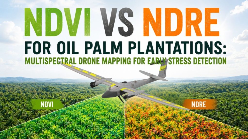
To interpret plantation health, two key vegetation indices were used:
- NDVI (Normalized Difference Vegetation Index)
NDVI = NIR – RED / NIR + RED
NDVI is the most widely used vegetation health indicator in remote sensing. It measures the ratio of near-infrared reflectance (absorbed by healthy vegetation) to red reflectance (absorbed by chlorophyll), producing a score between -1 and +1. Healthy oil palm canopy typically scores between 0.6 and 0.8. Values below this range signal reduced photosynthetic activity and potential stress.
- NDRE (Normalized Difference Red Edge Index)
NDRE = NIR – RedEdge / NIR + RedEdge
NDRE is specifically sensitive to chlorophyll concentration and nitrogen status, two of the most critical early indicators of nutrient stress in mature crops. Because it uses the Red Edge band rather than the visible red band, NDRE can detect stress several weeks before it is visible in NDVI, and significantly earlier than any visual inspection. For mature oil palm estates, NDRE is the more diagnostically powerful index of the two.
Together, NDVI and NDRE produced spatially precise maps showing not just where the plantation was, but which zones were performing well, which were showing early stress signals, and where intervention was warranted.
These indices answer critical questions:
- Where is stress beginning?
- Which areas need intervention?
- How uniform is plantation health?
3. Structure and terrain understanding
Orthophotos provided distortion-corrected, georeferenced aerial base maps suitable for tree-level visual inspection and layout analysis. Digital surface models (DSMs) captured canopy height and terrain structure, enabling analysis of drainage patterns, slope-related stress, and canopy density variation across estates.
With high-resolution orthophotos and Digital Surface Models (DSM):
- Canopy structure became measurable
- Terrain variations became visible
- Plantation layout could be analyzed precisely
How multispectral drone mapping benefits plantation management
Plantation health data is only useful if it leads to better decisions. The outputs of this project translate directly into the following management applications:
Variable-Rate Fertilisation
Blanket fertiliser application across an entire estate treats every zone identically, regardless of actual need. With spatially-precise stress maps, fertiliser can be targeted at the zones that genuinely require it. In a climate of significant fertiliser price inflation, a persistent pressure across Malaysian and SEA plantation agriculture variable-rate application is not a marginal efficiency gain. It is a material cost reduction.
Early Stress Intervention
Nutrient deficiency detected at early stage via NDRE mapping can be addressed before yield impact occurs. The cost of early intervention is categorically lower than the cost of late-stage remediation and significantly lower than the cost of tree loss and replanting, which typically represents 3–4 years of suppressed yield before a replacement tree reaches productive maturity.
Accurate Tree Inventory and Estate Baseline
The AI-based tree count and classification system produces an auditable, estate-level asset inventory. This has direct value for financing applications, insurance assessment, RSPO and MSPO sustainability certification, and critically as a baseline for future monitoring cycles. A time-series of health data across multiple seasons is where the full value of continuous monitoring is realised.
Yield Planning and Harvest Scheduling
Estate-level health maps allow managers to anticipate production patterns based on observable canopy condition rather than historical averages. This supports more accurate harvest scheduling, logistics planning, and output forecasting.

The bigger shift: From observation to data-driven agriculture
For years, plantation management relied on experience, walking the land, observing patterns, making judgment calls. That experience still matters. But now, it can be strengthened with precision agriculture technologies like multispectral drone mapping.
It reflects a broader shift in agriculture:
- From reactive to proactive management
- From uniform treatment to targeted intervention
- From assumption-based decisions to data-driven clarity
For those managing a plantation whether large estates or smaller holdings, the question is no longer if stress exists. The real question is: How early can you detect it, and how precisely can you act on it?
RISDA is one of many plantation operators across Malaysia who have made this shift — from assumption-based management to data-driven clarity. Over more than a decade, AECA Solutions has worked with organisations across the full spectrum, from large conglomerates to private smallholders, applying geospatial technologies to help them manage their land with greater precision and confidence.
Malaysia’s plantation sector supports hundreds of thousands of smallholder families and remains a cornerstone of the national economy. When more plantation owners have access to timely, accurate data, that impact compounds — farm by farm, estate by estate, season by season. That is what drives our work.
Every plantation has its own patterns, challenges, and opportunities. If you’re curious how multispectral mapping and AI-led analysis could apply to your estates, we’d be glad to explore it with you.
Are you already using drone mapping on your estates? We’d love to hear how it’s working for you. DM us or drop your observations / queries / challenges in the Comments.
Connect with us at gis@aeca-solutions.com